Pictures
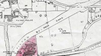
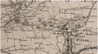
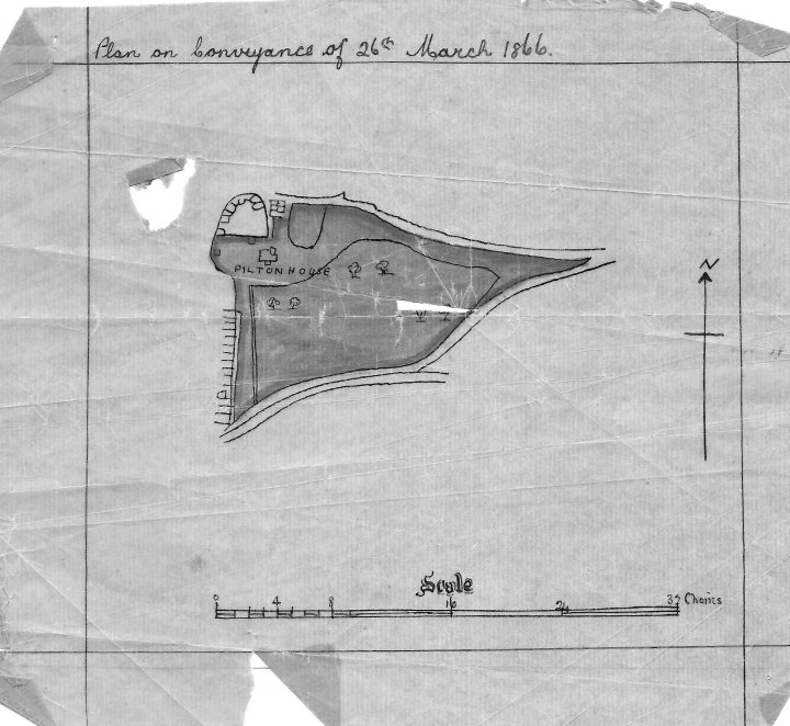
Plan of Conveyance of Pilton House in March 1866
- from: Martin.Haddrill
- uploaded: Nov 30, 2015
- Hits: 279
-
 (0 Likes)
Description:
This document, found among Pilton House papers in 2015, shows the plan of the conveyance when the house and grounds were sold in 1866. The scale suggests that the land stretched from the back of the buildings in Pilton Street for 26 chains or about 500m to the east. The layout suggests this might have been bounded by Higher Raleigh Road to the north and Lower Raleigh Road and the River Yeo to the south. The North or New Road did not exist at this time.
Thanks to Pilton House for this plan.
Tags:
Categories:


